
Last Updated on: Jan 23, 2021
In the age of GPS and 24/7 internet access, map reading is a dying art. While bulky key maps used to be a staple in every vehicle, most people born in the age of the Internet don’t know how to use them. Due to the rapid rise of satellite navigation, a survey found that 1 in 7 of people aged 23 to 38 have never read a paper map. In the same age group 60% rely on phone navigation when going somewhere new for the first time.
What We'll Cover
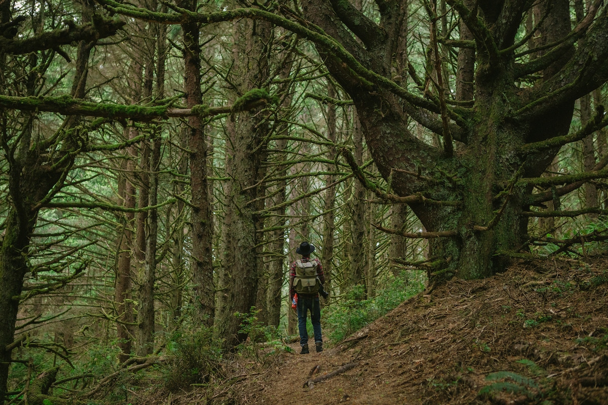
With the ease of access to digital maps, you may be wondering why you should learn how to read traditional maps in the first place. Remember that technology is fallible – your phone may die when you don’t have your charger, or you might get caught in a 50-mile dead zone or lost in the wilderness.
It’s not uncommon for campgrounds and large state and national parks to have very poor cell phone service. In these situations, tossing a map in with your hiking gear and being able to read it can save your life. In that sense, it’s a great survival skill. Map reading can also be a fun way to get around the park or camp grounds without bringing technology in the mix.
Luckily, map reading is a skill that can be learned like any other, so take your map out of your hiking backpack, and let’s learn.
Choose the Correct Type of Map
If you’re not familiar with paper maps, you may not know all of the different types of maps and when to use them. Depending on whether you’re touring a new city on vacation or backpacking Yosemite National Park, your maps needs will very drastically.
If you’re not sure what type of map to bring on your trip, we’ve gathered the different situations you might need each type of map in so you’re prepared for travel.
Topographic Map
Topography is the study of the features and shapes of land surfaces. Fittingly, topographic maps render three-dimensional landscapes onto a two-dimensional map. On a topographic map, you will be able to find natural features such as mountains, valleys, ridges, basins, water features, and more.
Because they convert three dimensions into two, a topographic map will tell you whether you will be traveling uphill or downhill on any given path. Concentric circles inform you there is a peak, with the smallest circle being the highest point of elevation.
If you walked or drive following the same contour line on a topographic map, you would stay at the same elevation, never going uphill or downhill. Crossing topographic lines in one direction or the other means changing elevation.
Topogrphic maps are useful for:
- Camping
- Hiking
- Backpacking
- Surveying
Road Map
Road maps are fairly self-explanatory. Instead of focusing on natural features, road maps highlight roads, highways, interstate, and other transportation routes. They commonly include political boundaries like state and international borders which are not marked by maps focused on landscape. This way, you can measure how far left until you hit Louisiana, Canada, or wherever you’re going.
Road maps are useful for:
- Road trips
- General directions and navigation
- Traffic reporting
- Communications and strategic planning
Tourist Map
Tourist maps can often be found in city brochures you get while traveling. Unlike road maps which just show you how to get places, tourist maps will direct you to certain sites and help you navigate the way.
Most cities with a strong tourist presence have certain tourist attractions like museums, beaches, and historical landmarks that are most visited. It’s in the interest of the city to make sure that tourists have the easiest time finding these spots as possible, so tourist maps often come in multiple languages and try to efficiently direct people to the city’s highlights. A tourist map for a national park may even point out good places to make camp.
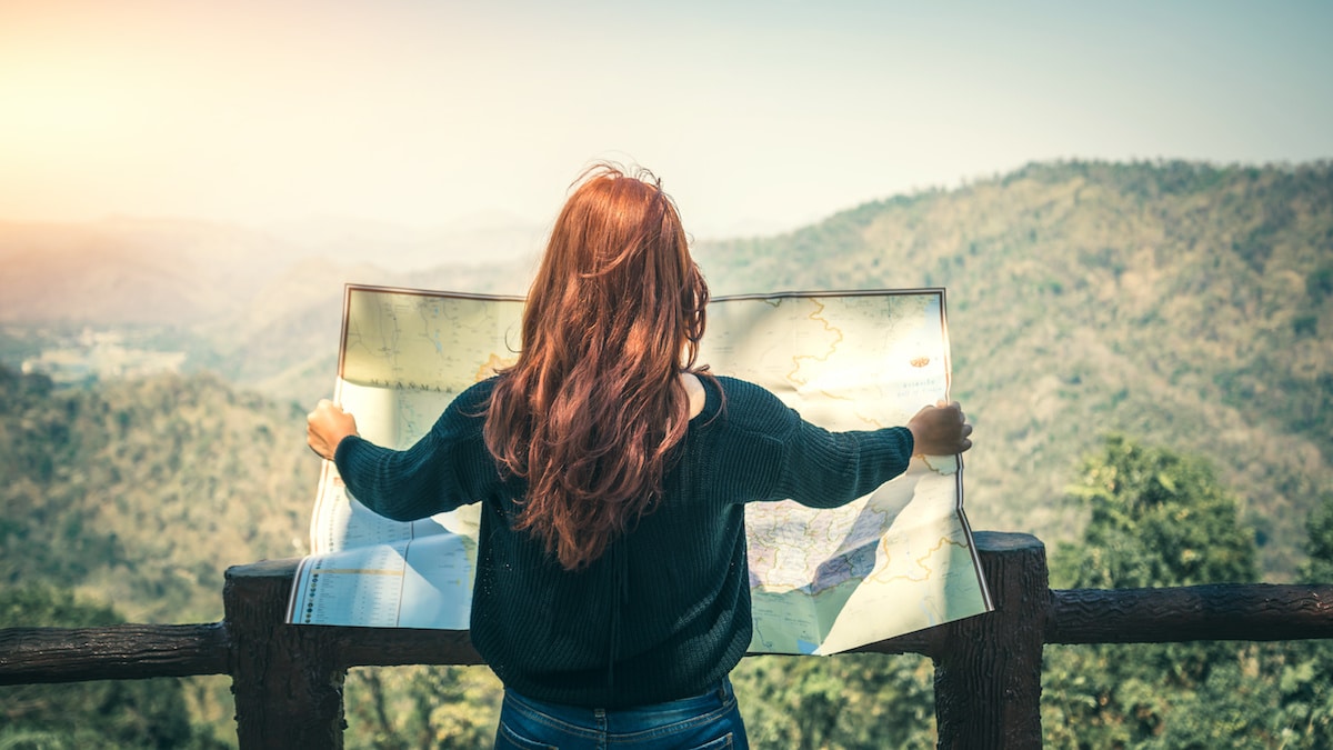
Parts of a Map
Now that you have an idea of what map you’ll need for your upcoming trip, you have to learn how to read it. While maps may look intimidating at first, you can read any map once you learn the features they all have in common.
Legend
A map legend is like your cheat sheet to map reading. The legend will explain what different colors and symbols mean on that particular map. For example: small dots might be towns, large dots could be cities, and stars could be capitals. Bue is usually water, green is land, and brown may be deserts or mountains. On political maps, different colors could indicate different regions or countries.
Luckily, there’s nothing here you need to memorize by heart since the map will provide the key to reading it.
Title
The map title, usually found at the top of the map, tells you what subject or region it’s outlining. Generally, the title will give you a good idea of what the map is depicting.
Some mark regional features (“Lower Colorado River Basin”), some focus on road travel (“Road Map of North Dakota”), and some focus on more social characteristics (“Population Density of the Northeast United States”).
Grid References
Usually, a map will be divided into squares by horizontal and vertical lines. Both the x- and y-axis may be marked by numbers, or one may be marked by numbers and the other by letters. On larger maps, the key may provide you with grid locations for certain features.
For example, say you’re looking at a map of the Rocky Mountains. The key tells you that on this map, Mount Elbert, the tallest peak in the Rockies, is in 6F. Look along one axis for 6, and follow it down until you find F on the other axis. The square that you arrive in, 6F, contains Mount Elberg.
North Arrow
While some maps contain a compass rose, others have only a North Arrow. Although most Westerners are accustomed to North = Up, that isn’t necessarily the case. On a map, north can be down, right, left, or any other direction. Make sure that you check which direction north is on your map so you can orient yourself correctly.
Scale
The scale on the map tells you how far a certain distance on paper is on the ground. For example, an inch on the map may correspond to fifty miles on the ground. While it’s obvious that a paper map doesn’t directly correspond to ground distance, ignoring the scale can mean a much longer trip that you were expecting or missing landmarks entirely.
How to Use a Map
Now that you know what map to get and how to read it, it’s time to learn how to actually use it!
Point Your Map North
Use your compass to find north, and point your map in that direction. If your compass and map aren’t oriented to each other correctly, you may end up going in the complete wrong direction.
Find Your Location on the Map
Reading a map will be pretty difficult if you’re not sure where you are! While it would be convenient if paper maps could tell you instantly (like the “You Are Here” arrows in mall directories), it’s another skill you can add to your cache.
The easiest way to find your location on a map is using land markers for landscape-based maps, intersections for road or city maps, and major tourist sites on tourist maps. If there are no obvious landmarks nearby, you can use your map and compass to pinpoint your location with a method called triangulation.
How to us triangulation to find your location:
- Find an area with good visibility so you can see natural features
- Find north with your compass for hiking
- Lay out your map flat and oriented north to match the landscape
- Find three landmarks (like rivers, mountains, or hills) outside of your general location
- Orient your compass to the first landmark, and draw a line directly from that landmark through your general location on the map
- Do the same procedure with two other landmarks, drawing a line from the landmark through your general location
Where those three lines meet is your exact location on the map. Congratulations, you’ve found where you are.
For more visual details, watch this video on triagulating your location.
Read Contour Lines
Contour lines indicate elevation levels on topographic maps. If you need to be aware of whether you’re going uphill or downhill, the contour lines will guide you. By tracing a contour line with your finger, you are following the same point of elevation on a map.
Contour lines can help you pick a more difficult or easier hiking route and could save your life in a survival situation. At various points, the map will indicate the exact elevation on a certain line. Usually there will be a scale for elevation as well, for example that each line represents 50 or 100 feet of elevation.
Identify Features of the Landscape
In order to triangulate your location and match landscape features in the world around you to the map, you need to be able to identify them by their contour lines. Here is how to identify common landmarks in order to triangulate your location.
Spur
A spur is a ridge that descends from a hill laterally. Normally, spurs protrude from ridges and can be identified on topographic maps as a ‘U’ or ‘V’ shape pointing away from higher ground. Spurs slope gently, and can be an easier path to higher or lower ground in order to get to higher elevations and safely return.
Re-Entrant
A re-entrant is a landform that can be seen on a topographic map. It describes a small valley that cuts into a hill. The contour line makes a ‘U’ or ‘V’ shape in the hillside, but doesn’t go cut all the way between two hills or mountains.
Saddle
A saddle is a low point between two higher points. Saddles are not to be confused valleys, which is an area of low land between mountains or hills that usually has a river. A saddle only needs to be a lower elevation than the surrounding peaks, so it could be a dip between two hills or just a low point on a continuous crest.
Summit
The summit is the highest point of a peak. On a topographic map, the summit is marked by contour lines as the smallest concentric circle. Often, a topographic map will tell you the exact highest elevation of the summit.
Thumbing
Not being able to keep finding where you are on a map is different than being lost. You know where you are, you just keep losing your spot on paper. Thumbing the map is a technique to keep track of where you are on it. This is an extremely useful technique to use while going backpacking.
You simply place your thumb at your current location on the map, and periodically update it as you continue on your trail. You don’t want to spend your whole hike trying to find your lost place on the map, so keeping a constant marker – your thumb – makes finding and updating your position easy. This allows you to actually enjoy the scenery and watch the trail for trip hazards or other dangerous. Nobody wants to spend their whole hike with their nose in the map!
Conclusion
Although map reading may seem intimidating at first, it’s a great skill for campers and hikers, as well as those who want to be less reliant on technology. Knowing how to read a map can prevent you from getting lost in the wilderness or in a dead zone on the highway, making it a valuable skill to have under your belt.
The responses below are not provided, commissioned, reviewed, approved, or otherwise endorsed by any financial entity or advertiser. It is not the advertiser’s responsibility to ensure all posts and/or questions are answered.

![Best Archery Sets This 2023 [Men & Women]](/assets/images/8cf78150f1d9d7a0c175609145d21517.png)